For wealthy and politically stable nations, the task of maintaining and digitizing climate records is a high-tech enterprise.
But this has not been the case in the Democratic Republic of Congo (DRC).
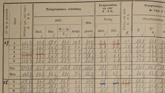
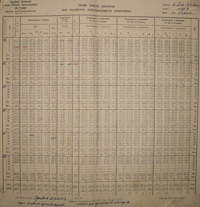
Much of the Congo Basin's climate data for the past century has been recorded on paper, written by hand, and stored in an archive in a town called Yangambi.
Now, a scientist on a mission to digitize Central Africa's climate archives has revealed the scale of climate warming in the Congo, in collaboration with researchers from the DRC and Belgium.
The results are published in Earth System Dynamics.
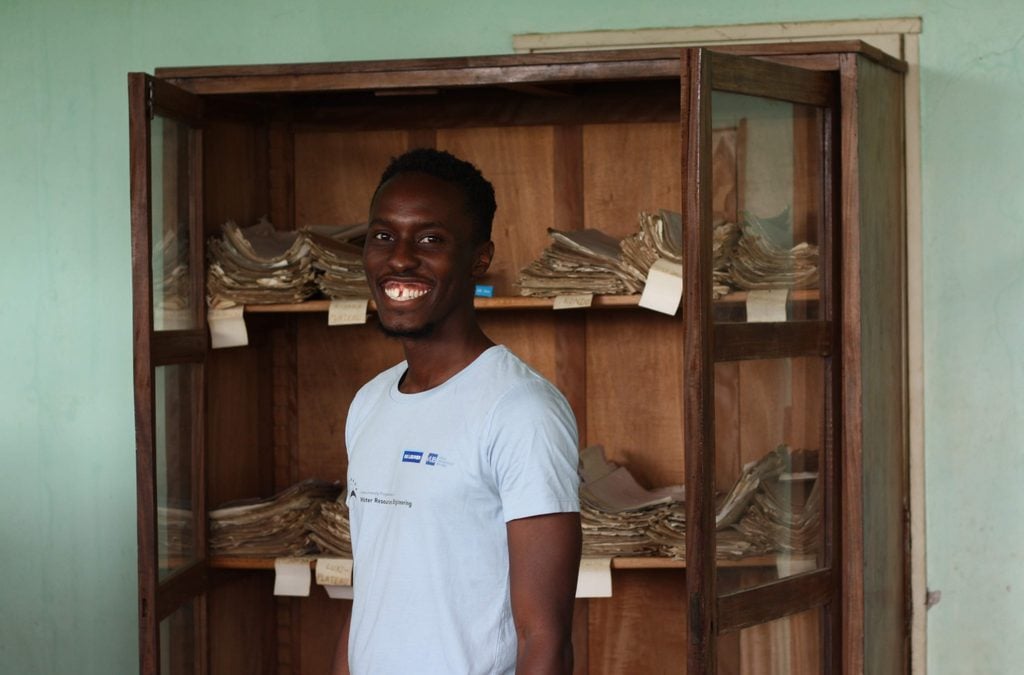
Hydrologist Derrick Muheki is originally from south-west Uganda, near the eastern border of the DRC, but to pursue his PhD he traveled to Belgium's Vrije Universiteit Brussel.
In Belgium, Muheki had easy access to colonial-era documents detailing the Congo's climate through the early 20th century. But those records end after the 1950s.
Belgium occupied the Congo as a colony from 1908 until 1960, when Congolese leaders obtained independence for the country we now know as the DRC.
In Belgium, "meteorological logs are stored in metal boxes and acid-free paper under controlled temperature and humidity," he explained.
"In Yangambi, those resources simply aren't available."
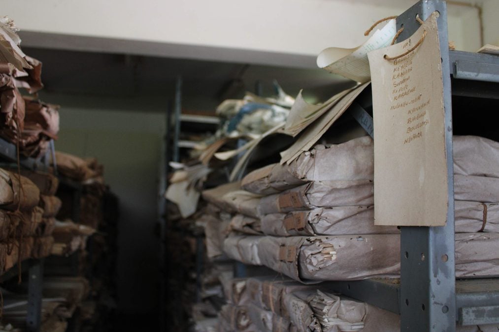
The records in Yangambi are thorough and detailed: they just hadn't been digitized or published in a way international climate researchers could access.
"The persistent data sparsity across Central Africa has been a significant impediment to studies assessing the regional effects of human-induced climate change on ecosystems, societies, and the water cycle, despite the region hosting the Congo Basin, which contains the world's second-largest river and tropical rainforest," Muheki and team write in their new paper.
It's not easy to get to Yangambi. The roads connecting this town to its neighbors are unpaved and, according to Wikipedia, "difficult to use at all times of the year".
"The motorbike is the main mode of public transport there," Muheki said.
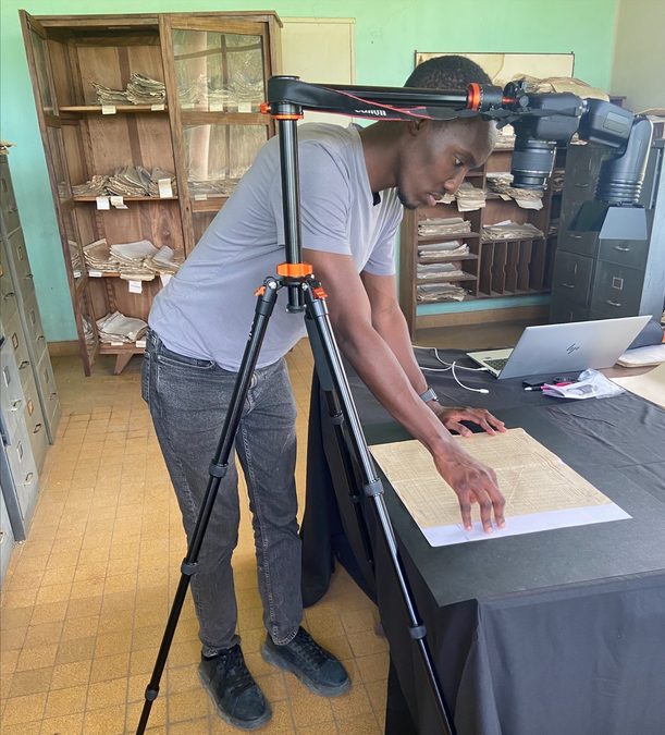
"I sat on the back while my equipment – a camera, lamps and a generous supply of batteries – traveled on a second bike. There's no electricity grid in the area, not even in the archive itself. The only power comes from batteries and generators."
You might wonder why the DRC's meteorological records are kept in such a remote place.
In the Belgian Congo, plantations were a major part of the colony's economic policy. Yangambi became a hub for agriculture and forestry research to serve that aim, with a dedicated center built right on the banks of the Congo River.
When the country gained independence, the research center at Yangambi was renamed the National Institute of Agronomic Studies and Research (INERA), which still operates today.
And it was at INERA's Section de Climatologie that Muheki got to work digitizing more than 9,000 handwritten pages of daily meteorological records, collected from 37 weather stations across the country.
"Documents were stacked on open shelves, exposed to moisture and insects," he described.
"Just a few months before I arrived, there had even been a fire in another wing of the building. Seeing that really drives home how fragile paper archives are – and how urgent it is to save this data before it disappears."
Muheki and his colleagues have now pieced together a continuous digital record of the Congo Basin's climate from 1908 to 2023, transcribing the handwritten records from Yangambi with a machine learning tool called MeteoSaver, which Muheki helped develop.
The data reveals the Congo Basin climate has been changing in ways consistent with trends seen across the world: hot days are getting hotter and more frequent, while cold days are dwindling.
During the period with the best station coverage (1961–1990), days with hot extremes were almost twice as frequent in the most recent decade (the 1980s) as they were in the earliest (the 1960s).
Between 1961 and 1990, average temperatures in the DRC rose by 0.5°C, and maximums increased by about 0.7°C. Those warming trends have continued into the 21st century.
"These findings provide new observational evidence of climate change in this data-sparse region and underline the critical need for more climate data rescue efforts to improve assessments of observed changes in climate," Muheki and his colleagues write.
"Accessing more of these records will help us improve reconstructions of our climate history or improve our projections of future climate change in this part of the world, where adaptation to climate impacts is already a necessity," Muheki says.
The research has been published in Earth System Dynamics.
This article was fact-checked by Fiona MacDonald and edited by Fiona MacDonald. While we pride ourselves on our process, we are only human. If you spot a mistake, please let us know.