If you were to list off a few of the world's most popular places, you'd probably name something like Stonehenge or the Great Pyramids. After all, these historic structures attract millions of people every year and they have one thing in common: they actually exist.
Sure, existing seems like a prerequisite for any 'place', but it actually isn't, because one of the most 'visited' sites on Earth is an imaginary place called Null Island, located at 0°N 0°E on the map in the South Atlantic Ocean, thanks to researchers making errors while working with various geographic information systems (GIS).
But before we get to Null Island itself, we need to discuss what a GIS is, and why this technology is vital to researchers and the general public alike.
A GIS, in a nutshell, is a computer system that stores, analyses, and manipulates geographic data, and visualises it all on a map. In other words, it's a behind-the-scenes system that enables things to get accurately placed and visualised so people can make sense of data.
Researchers use GIS to study climate change, for example, but everyday things are powered by it, too, like finding a restaurant nearby.
One function performed inside a GIS is geocoding - a process that takes things like addresses and transforms them into coordinates so they can get easily placed somewhere on a map. So if you search for pizza places on Google Maps, the GIS will automatically plot them on the map thanks to an internal geocoder that's turning a list of addresses into longitude and latitude coordinates. These coordinates are then pinned on your screen for easy browsing. Boom, you just used a geocoder!
Pretty simple, right? Well, it gets a lot harder when incorrect information is added into the geocoder, which happens a lot. In fact, improper data entry, software glitches, and various other technological problems often lead geocoders to spitting out "0,0" coordinates and plotting things there by accident.
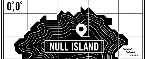
Though that doesn't sound like a big deal, 0°N 0°E is actually a real place that happens to lie in the middle of the South Atlantic Ocean. Since geographers deal with this coordinate all of the time when working out errors, they've nicknamed it Null Island.
"This shared experience among geographers has fed the mystique of Null Island, with GIS enthusiasts creating fantasy maps, a 'national' flag, and articles detailing Null Island's rich (and fake) history online," Tim St. Onge writes for the US Library of Congress.
After years of geocoder errors, Null Island has a bunch of addresses and places labelled to it that do not, in reality, exist there. This means that it is one of the most interesting, most visited places on Earth, despite the fact that it's only a data dump that's been fictionalised by geographers.
To be clear, droves of people aren't actually heading out to this buoy - but that's what the incorrect data are suggesting. If aliens ever get a hold of this data, they'll probably assume we all have an unhealthy obsession with a single buoy out in the middle of the South Atlantic Ocean, but they probably think dogs rule the planet, so that's not so bad.
While this fictional place exists only in the imaginations of countless geographers across the world, if you were to travel to 0°N 0°E, you'd actually find a buoy owned by the National Oceanic and Atmospheric Administration (NOAA), which they use to collect climate data year-round - a far stretch from some a fictional land with a tonne of impressive attractions.