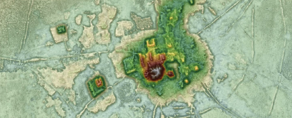
LIDAR stands for Light Detection and Ranging. Much like sound-based echolocation technologies such as sonar, this popular ranging method uses the time it takes for a focused, coherent wave of light to travel towards a surface and back again to calculate distances.
First used in the 1960s for military targeting, the technology has since been adapted to make use of advances in satellite-based radio-navigation systems and rapid computer processing to become a high-precision mapping tool.
How does LIDAR work?
As light of different energies reflects from different substances in specific ways, the intensity of an electromagnetic 'echo' can convey a lot of information about layers of material.
Different wavelengths of laser emission are today used to probe through foliage and water columns to construct highly detailed topographical layouts of landscapes and seafloors. Emitted into the sky, LIDAR can study the atmosphere to profile clouds, measure wind speeds, and analyze the makeup of gases and particulates.
With technology dropping in price, we might see its application in even more fields. Many brands of mass-market autonomous vehicles, for example, are exploring the use of LIDAR as a means of allowing cars to 'see' the environment. The latest generations in smart personal technology are also putting LIDAR to good use as a way to scan surroundings in 3D.
LIDAR is undoubtedly a tool we'll be seeing a lot more of in the future.
What's the difference between RADAR and LIDAR?
Both RADAR (which is now more commonly known as radar) and LIDAR bounce waves of electromagnetic radiation off objects to measure how far away it is from the light source. Where they differ is primarily in the wavelengths they occupy.
Radar (Radio Detection and Ranging) was developed from research into the reflections of radio waves in the late 19th century. By the Second World War, radio frequency-based ranging technology was being used in military applications for detecting incoming enemy attacks.
These low-frequency radio waves are ideal for traveling great distances through dense fog and cloud cover. Unfortunately, those long waves reduce the resolution of any objects being measured. At a distance of just 100 meters (328 feet), the smallest details detectable by radar have to be a few meters across.
Development of the ruby laser in the 1960s opened the way for higher frequency electromagnetic radiation sources to be used. Numerous pulses of laser light in the infrared, visible, or ultraviolet parts of the spectrum provide much tighter resolution at higher ranges, allowing LIDAR to reveal details a radar's wavelength would never see.
All topic-based articles are determined by fact checkers to be correct and relevant at the time of publishing. Text and images may be altered, removed, or added to as an editorial decision to keep information current.